
Scenario
Engineering survey support from design through construction
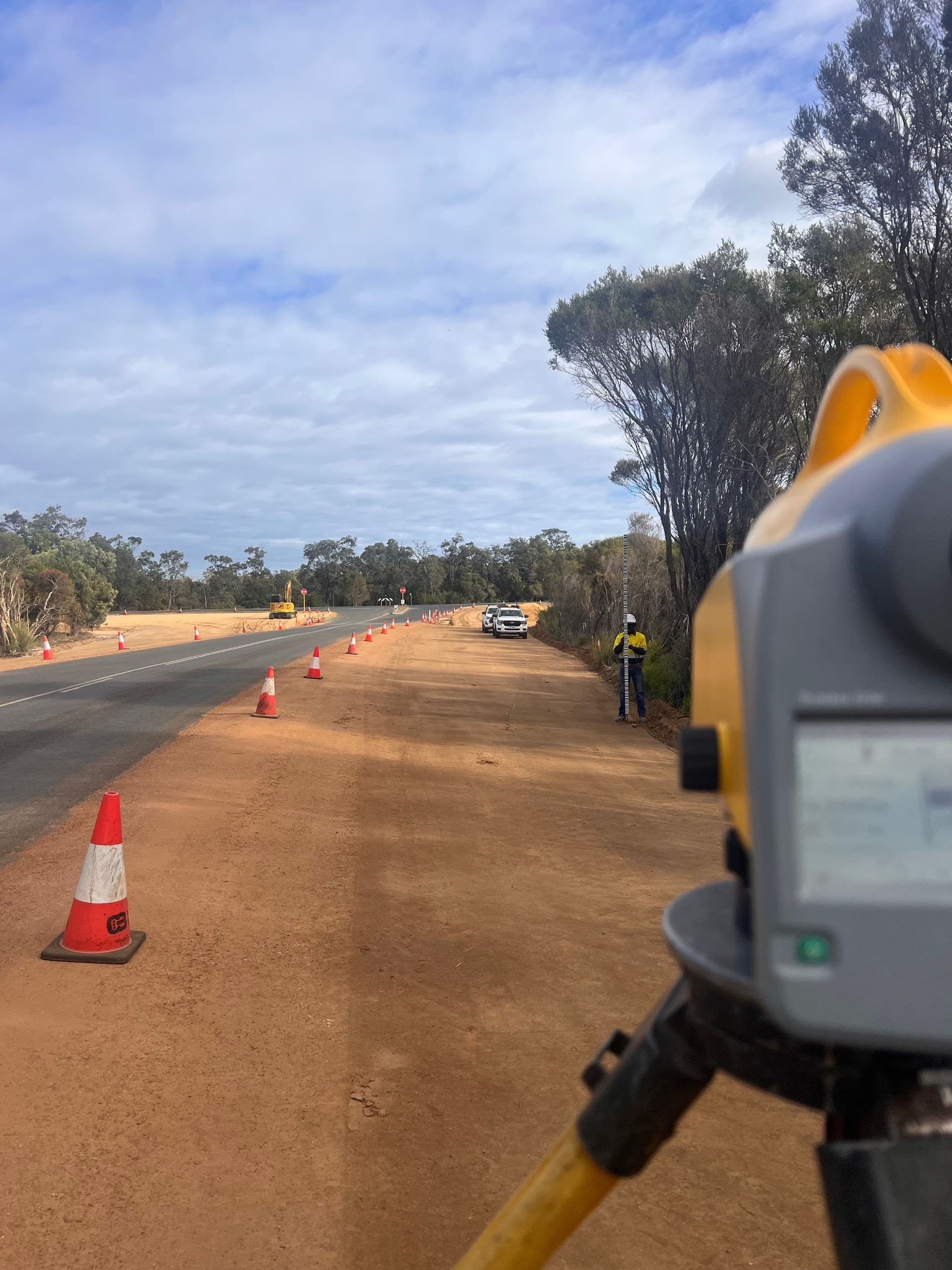
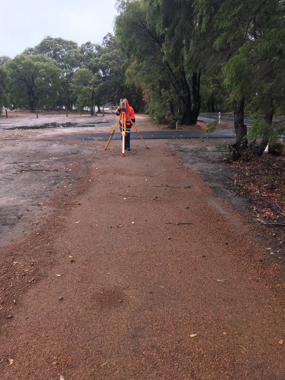
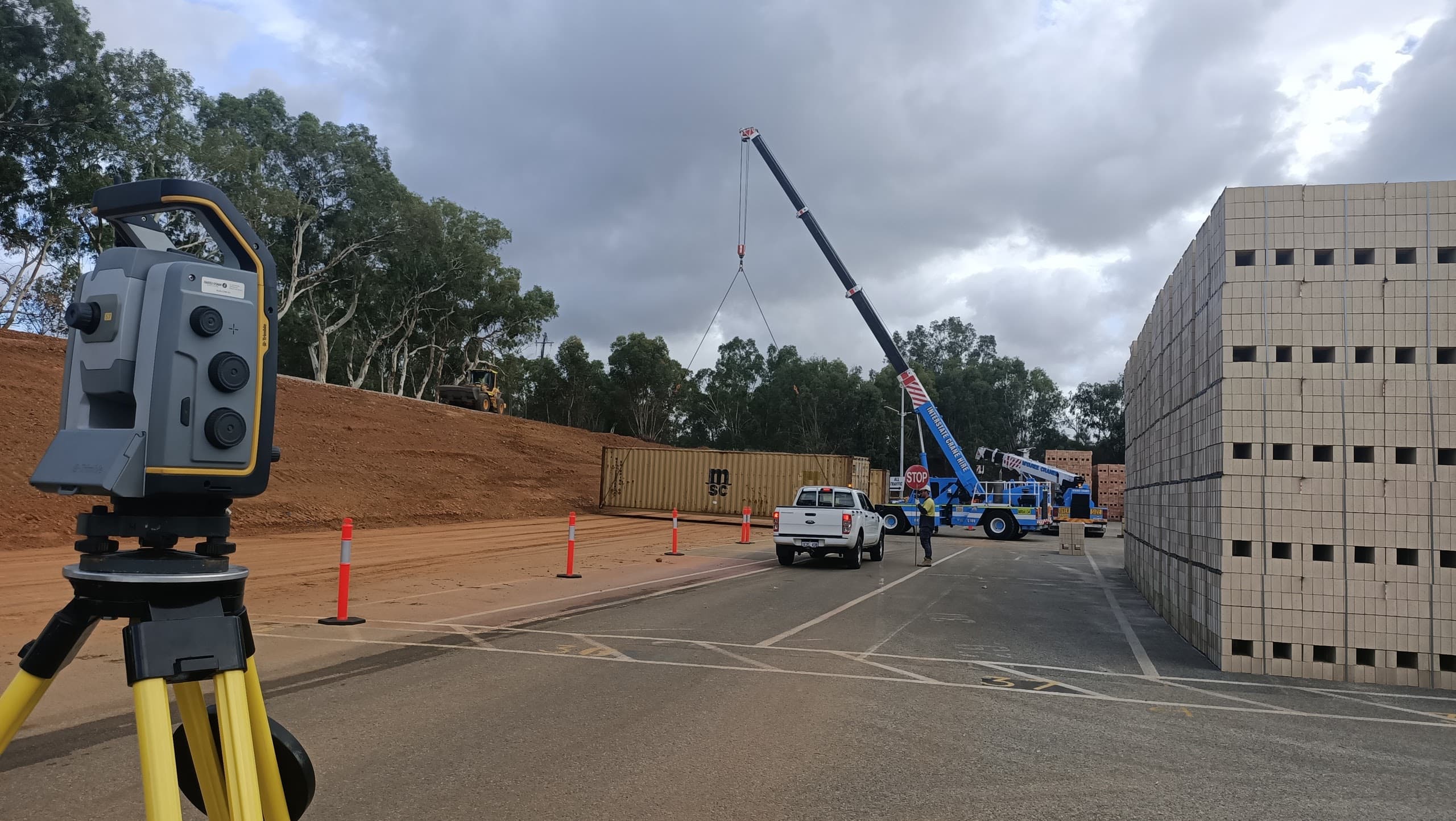
Engineering projects need reliable control, clear site data and practical survey records so designers, contractors and project teams can make decisions from the same information.
Noble Surveys approach
Noble Surveys supports engineering projects with control, feature and level surveys, set-out checks, monitoring where required, as-built records and survey outputs aligned to approved design information.
Deliverables issued
- Project control and level records
- Feature and level survey outputs
- Set-out and check survey records
- DWG/DXF drawings and survey strings
- QA notes and supporting files for review
Outcome / risk reduced
Project teams receive clearer records of site conditions, design interfaces and completed works, supporting engineering review, construction decisions and handover records.
construction-surveysinfrastructure-surveysas-built-surveyslaser-scanning
Need the same outcome? Start a conversation.