.jpg&w=3840&q=75)
Survey data construction teams can actually build from
Noble Surveys supports WA construction, infrastructure and mining projects with practical survey advice, reliable field data and clear records that help site teams make decisions, manage change and keep work moving.
Clients trust us to deliver again and again.
Quality and compliance you can rely on.
Proven track record across WA.
Partnering with the industry's best.
Survey support across Western Australia
From Perth to the Pilbara, we help construction, infrastructure and mining teams with project control, UAV capture, laser scanning, as-built records and practical deliverables. Explore our work in Bunbury and the South Westor see how we support Perth Metro projectswith dedicated survey crews.

UAV Aerial Mapping & Drone Surveys
Survey-backed aerial mapping, volume capture and site photography tied to project control, QA points and practical reporting.
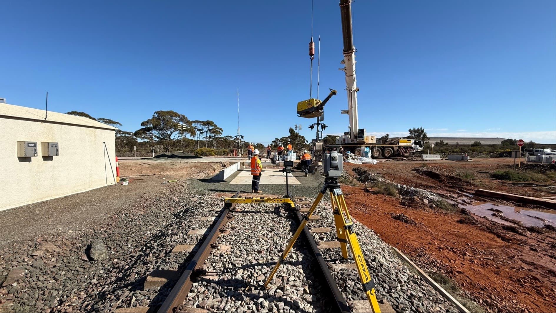
Rail Survey Services
Rail corridor survey support planned around access windows, safety requirements and asset-owner documentation.
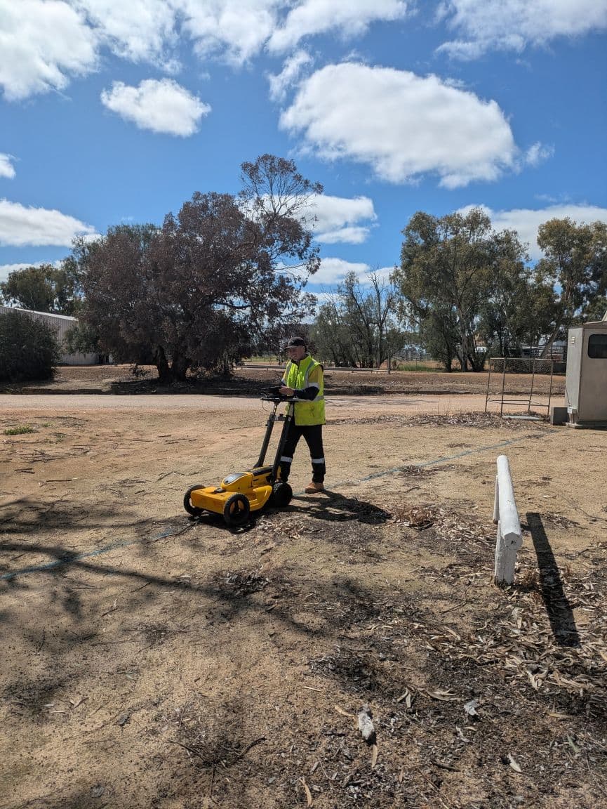
Underground Service Locating
Locate known and detectable services, mark and survey positions, and document limitations for excavation and design planning.
.jpeg&w=3840&q=75)
As-Built & Volumetric Surveys
As-built surveys, volumetrics and authority-ready documentation prepared for contractor, project team and asset-owner review.
.png&w=3840&q=75)
Construction Set-Out & Engineering Surveys
Construction set-out, project control, QA notes and as-built support that keep site teams aligned with current design information.
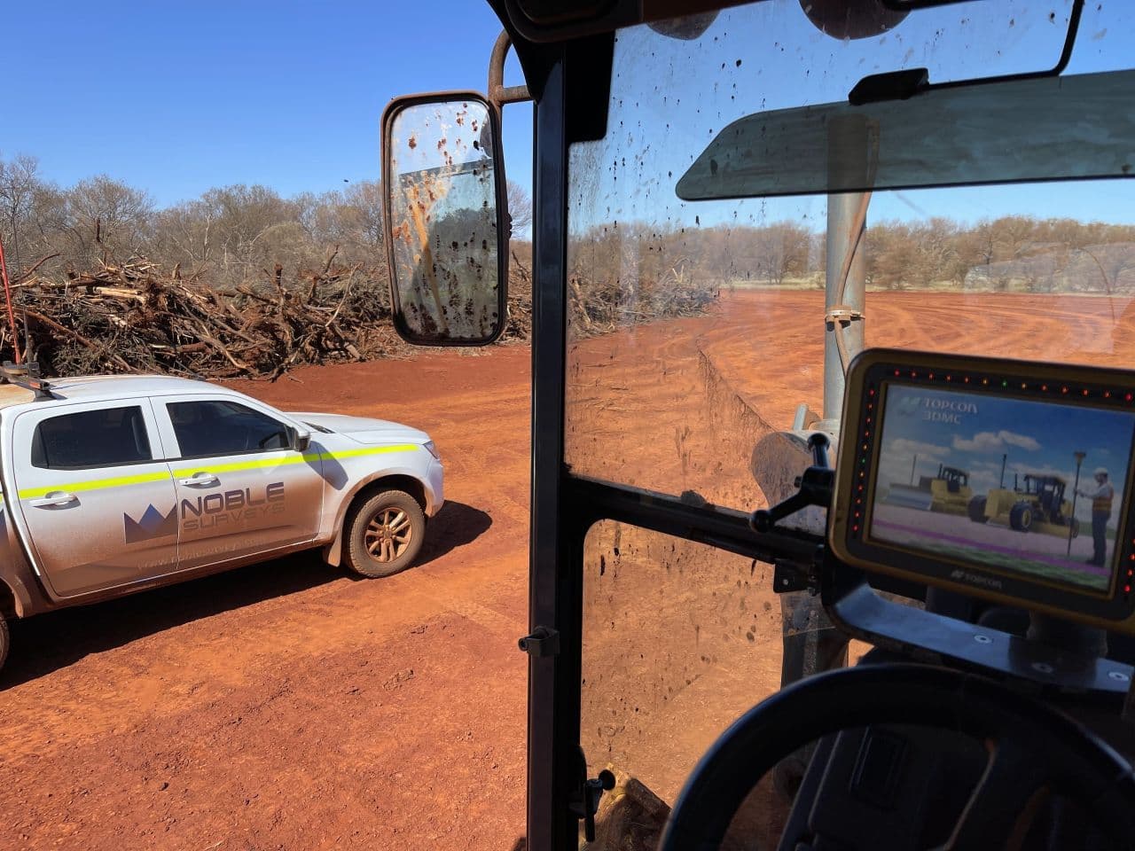
Mining Surveys
Survey support for TSFs, dewatering, NPI, haul roads and mining construction works across WA, including control, pickups and reporting.
Why project teams work with Noble Surveys
We combine practical field experience, clear communication and modern capture methods to keep construction and infrastructure projects moving.
.jpg&w=3840&q=75)
Clear communication
Dedicated contacts, site briefings and proactive updates keep project managers, supervisors and commercial teams aligned on scope, priorities and upcoming works.
.jpg&w=3840&q=75)
Survey records your team can use
Deliverables include DWG/DXF files, LandXML surfaces, orthos, point clouds, QA notes and viewer links so designers, engineers and site crews can act on the data immediately.
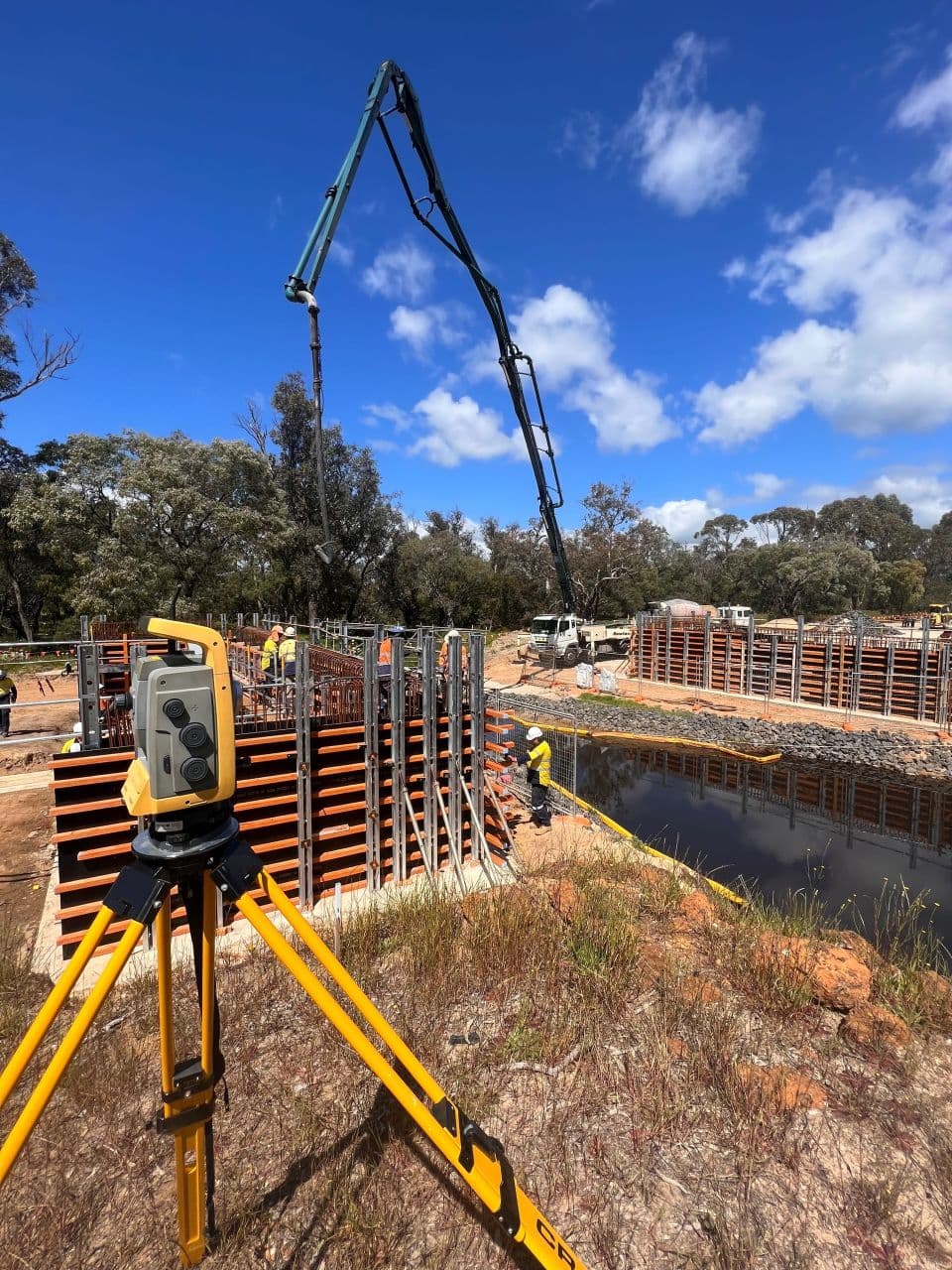
Modern methods, practical outputs
GNSS, total station, UAV, laser scanning and underground locating crews are matched to project needs, with processing workflows focused on practical handover documentation.